Hiking Silver Falls State Park in Oregon
Created: September 10, 2026
When we moved to Oregon, Silver Falls was at the top of our adventure list. We planned some time to go with friends and mapped a route through the Trail of Ten Falls. It's ten waterfalls spread across a roughly seven-ish mile hike through some beautiful forest.
Of course I nerded out about the scenery and photo opportunities. And the weather was perfect when we arrived, although it was a bit chilly at times, so I would recommend a light coat if you decide to check it out yourself. There was so much to look at throughout the hike that I rarely felt like we were just walking from one waterfall to the next. It felt like a whimsical forest of endless beauty as we hiked through the wooded trails, whistling the "Concerning Hobbits" theme from the Lord of the Rings soundtrack. It was pretty much perfect!
This is a log of my experience through the hike, a few of the waterfalls that stuck out to me most, and some of the photos I captured along the way with the Sony A6100.
The Route
You can take the full route a number of ways, but we started off as two groups in separate vehicles and met at the North Falls Trailhead. We paid for the first car at the kiosk then crowded into the other vehicle and made our way to the main entrance near South Falls.
From there, we walked past the café and headed west, descending down a curved trail and approaching the South Falls from below. We took the Canyon Trail to Lower South Falls and wrapped around the north side of the trail to Lower North Falls and Double Falls. Keep an eye out for Double Falls. It's a bit off the main trail and can be easily missed! We then passed through Drake Falls and Middle North Falls to the Winter Trail to see Winter Falls. After, we backtracked up to the Canyon Trail and headed east towards North Falls and Upper North Falls. From there, it was only a short distance to our car.
This map shows our full route. Just over seven miles, taking about five hours at a delicate pace.
South Falls
South Falls
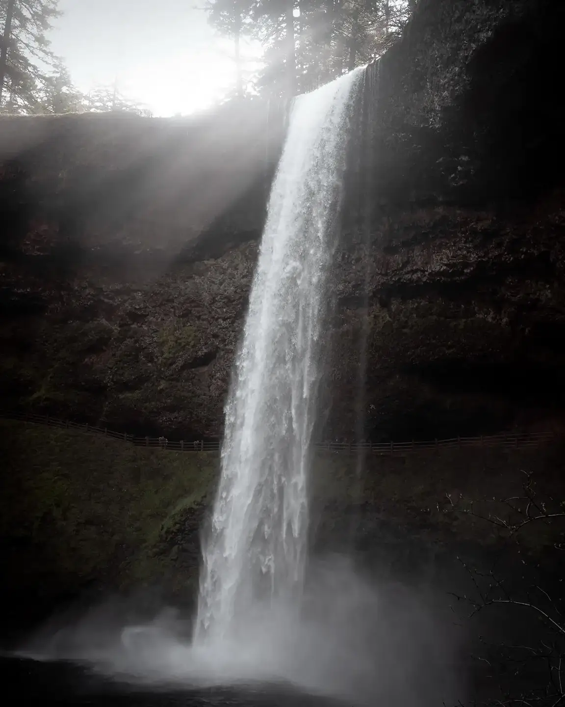
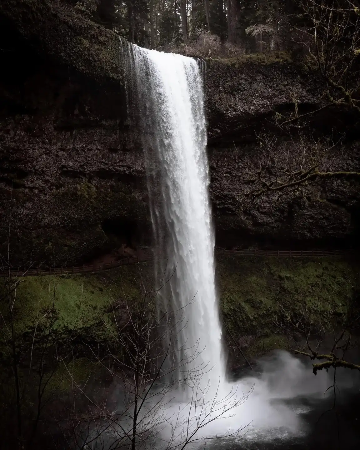
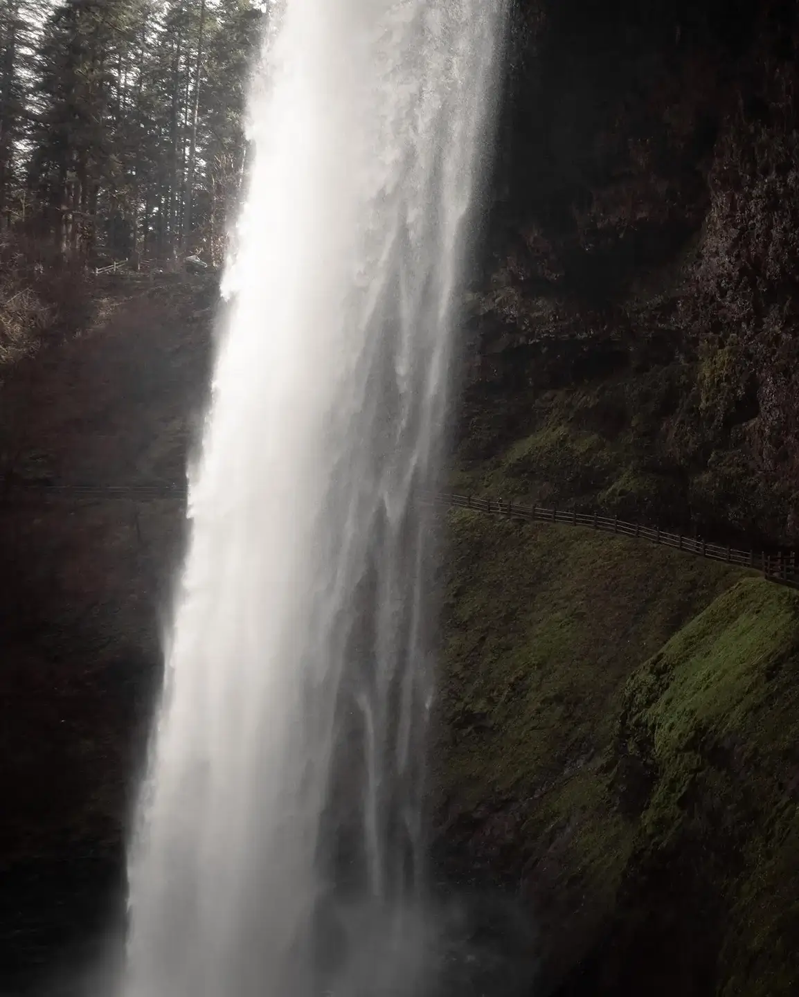
South Falls alone was an incredible experience. The trail starts near the top of the falls and winds its way down toward the river, revealing more of the waterfall as you make your way around the path. Once you reach the bottom, you can turn back toward the falls and get a full view of the water dropping over the basalt cliff. That was the first shot and a great start to the day!
The best part is that the trail wraps around the backside of the waterfall. The rock has been naturally carved out near the middle of the falls, creating a narrow passage on the back side that almost feels like walking through a cave, continuing underneath the overhanging cliff.
Lower South Falls comes next as you curve around the Canyon Trail and make your way north. This waterfall is smaller, but you get much closer and a more enclosed view of the water and surrounding rock. The water flow was super heavy and we ended up getting drenched walking behind the falls, so take caution. I made the rookie mistake of not bringing a waterproof sleeve on the hike, so my camera got a bit wet. Luckily, no damage was done.
Double Falls
From Lower South Falls, we continued along the Canyon Trail and headed east toward Double Falls. This one can be a bit easy to miss. Around the south curve, there's a fork in the main trail with the option of heading a bit further east to Double Falls.
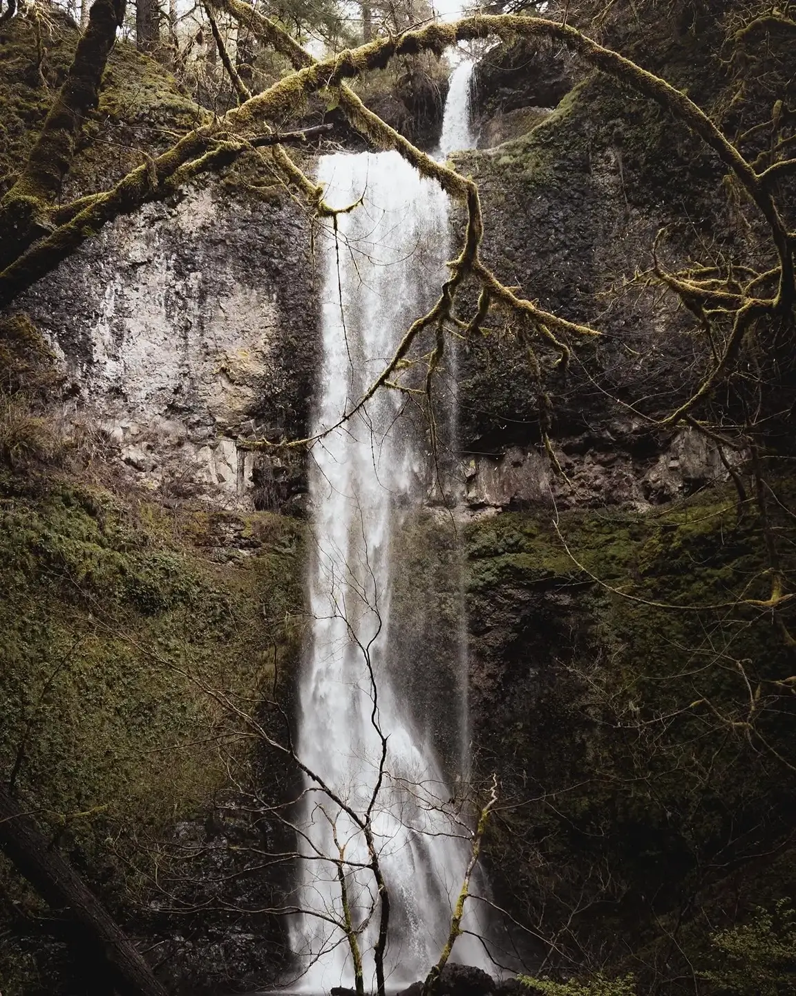
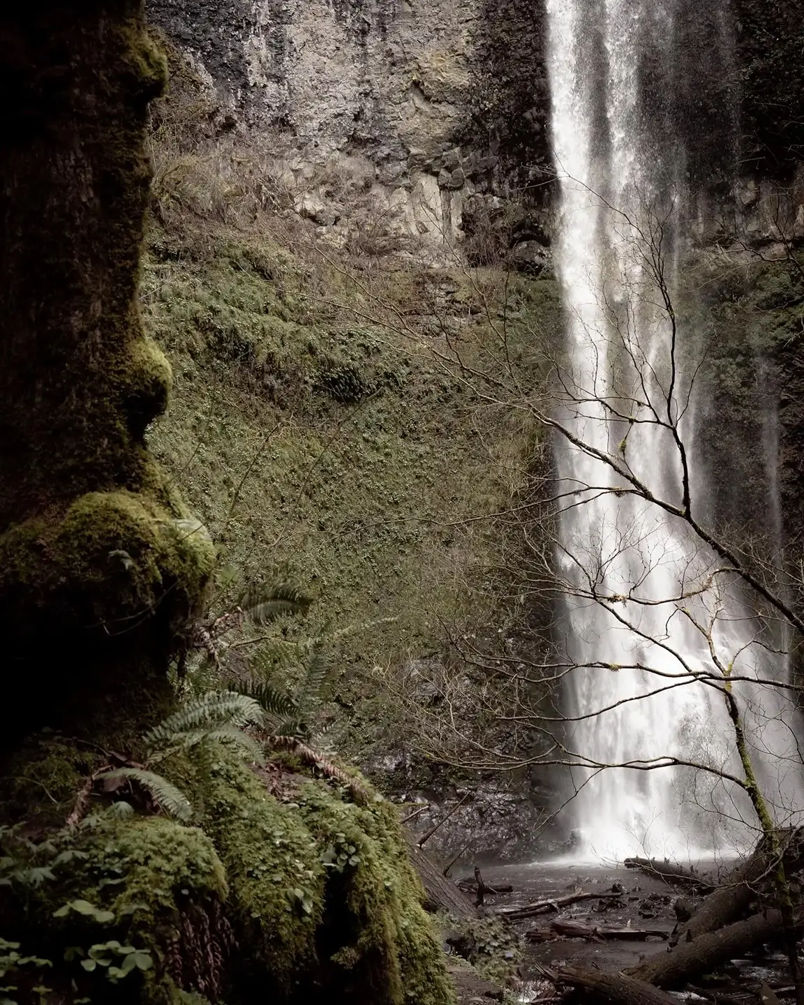
Double Falls was especially interesting to photograph because of the way the two drops sit together. It's also the tallest waterfall in the park at 178 feet, just one foot taller than South Falls. I found an amazing vantage point where two tree branches curved in from the left side of the frame and separated the two sections of the falls. I really liked the way they naturally framed the waterfall, and the resulting photo was one of my favorites from the hike.
Double Falls
North Falls
North Falls
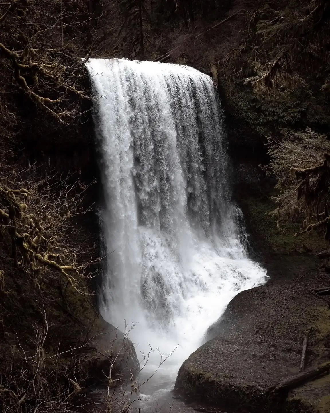
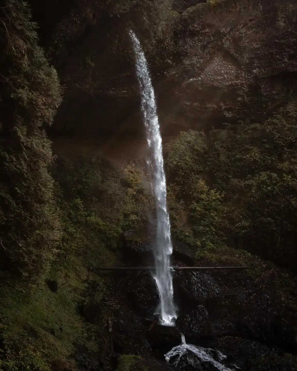
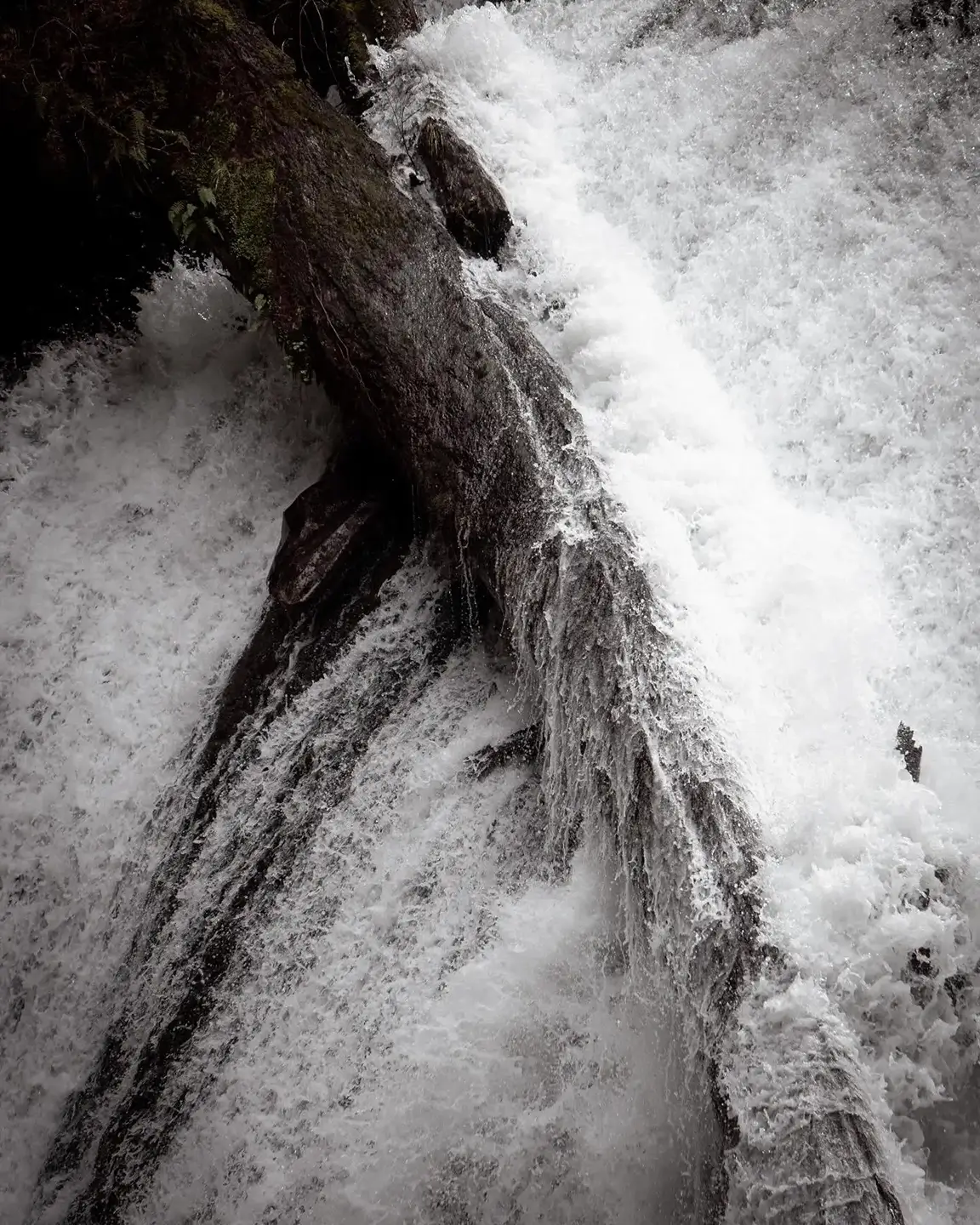
Walking through the northern and eastern sides of the park, we came across Lower North Falls, which was near Double Falls. The waterfall itself is actually pretty wide, but what caught my attention was the fallen tree on the left with the water rushing around it. The detail in the rushing water around the tree was incredible. I was super pleased with how the photo came out. A bit further on the Canyon Trail is Middle North Falls. Absolutely stunning, and one of my favorite photos I've taken to date. I just really liked the way everything came together in this one. Keeping along the Canyon Trail due east, we came to North Falls, which drops 136 feet into the canyon. We had a ton of clear views along the trail as the valley opened up, and we could see the falls from surprisingly far away. Like South Falls, you can walk along a trail behind the waterfall, with the rock overhang creating a cave-like setting. It felt surreal and almost otherworldly.
Lower North Falls
Middle North Falls
Final Thoughts
Being able to experience so many waterfalls in such a short hike is something I never thought was possible. Each one felt different, and I had a great time photographing the entire route. There was always something else around the next corner to enjoy and appreciate. Silver Falls was definitely worth the wait, and I'm already looking forward to going back.
A few things to note: Parking is limited and fills up quickly in the busy season, especially at the North Falls Trailhead, so try to show up early if you're taking this route. It's also worth noting that the north entrance parking kiosk is cash only, so make sure to have the exact amount on you as they don't offer change back. The day fee is $10 for Oregon residents, and $12 for out-of-state visitors. Alternatively, you can pay at the South Falls entrance, drop one of the vehicles off at the north entrance, then head back. Please make sure you pay the park fee. Those fees help support the people who maintain the trails, facilities, and grounds and keep the park clean and accessible to everyone.